


The hidden city
Trafficking hides in plain sight. Its digital signals do not.
Geo-CTI transforms millions of fragmented data points into structured counter trafficking intelligence.
 Geo-CTIby Geogentia
The hidden city
Geo-CTI transforms millions of fragmented data points into structured counter trafficking intelligence.
Entering the digital ecosystem
A listing carries an image, an alias, a number, a market, and a date. On its own it proves nothing and helps no one.
Millions of signals
Advanced analytics identify connections, surface patterns, and prioritize potential risk indicators so trained professionals can focus where it may matter most.
Intelligence takes shape
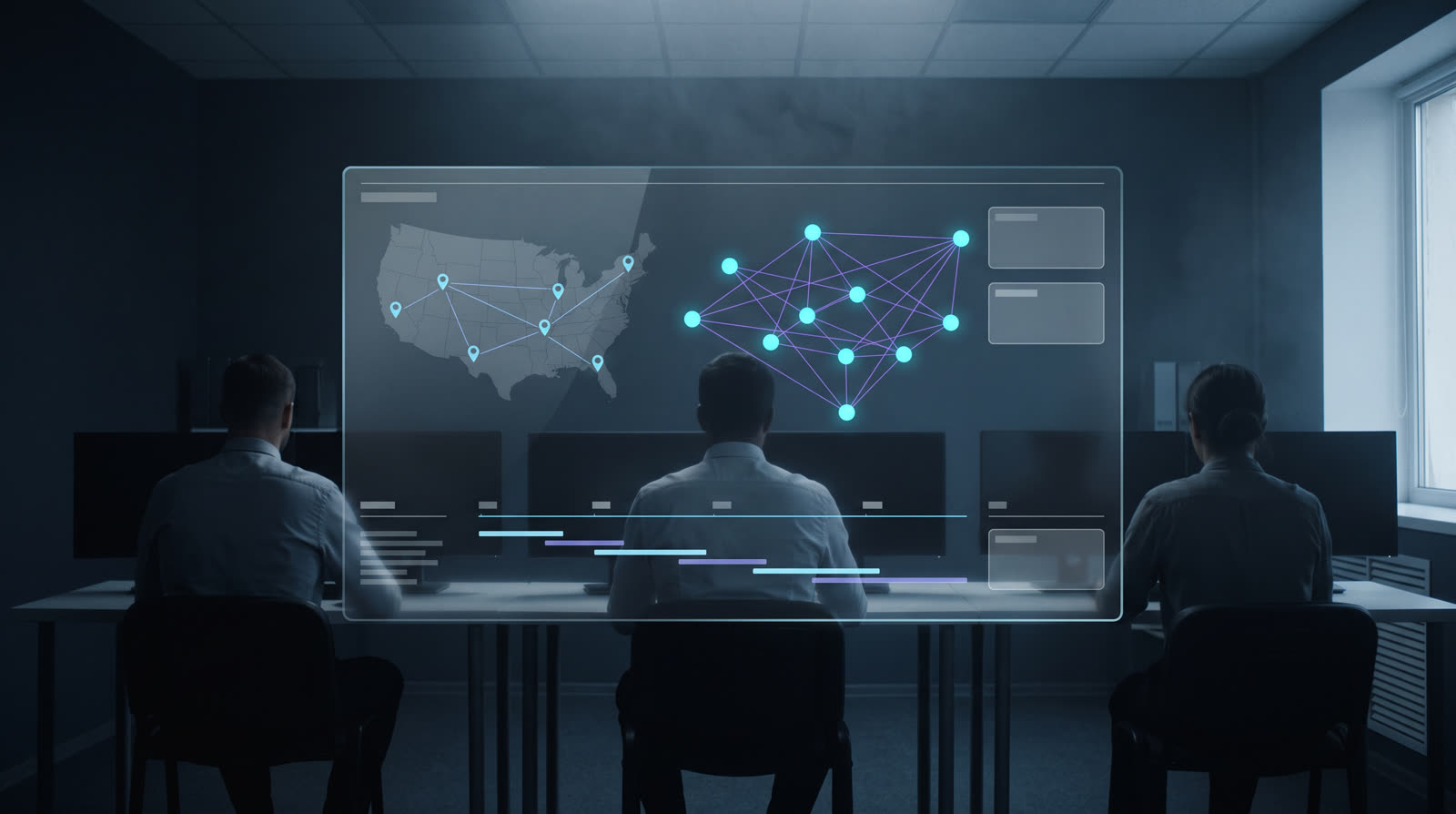
Fragments resolve into a graph of advertisements, aliases, contact records, images, places, and dates that an analyst can walk and contest.
Supporting law enforcement
Authorized teams analyze large datasets, document connections, prioritize potential victim related indicators, and develop intelligence for further investigation.
Human impact
Technology cannot replace trained investigators, victim centered practices, or due process. It can help professionals find critical signals sooner.
The challenge
Activity that matters to an investigation is dispersed across enormous volumes of advertisements, photographs, contact strings, stated locations, posting dates, and online identities that change deliberately and often. Any single record looks unremarkable. The pattern only appears at volume, across time, and across markets.
Analysts are not short of data. They are short of hours, and of a defensible way to decide which records deserve the next hour.

Below is a fictional listing, written for this page. It carries no real person and no real contact detail. It is here to show what an analyst actually receives, and how little one record can prove on its own.

Evening availability, city center
Sanitized placeholder description. Independent, new in town this week, flexible hours, incalls only. Travel considered for the right arrangement.
The Geo-CTI approach
Geo-CTI uses advanced analytics and artificial intelligence to identify connections, surface patterns, prioritize potential risk indicators, and help trained professionals focus their attention where it may matter most. The analysis supports human judgment. It does not replace it.
Organize and evaluate millions of trafficking related data points drawn from advertisements, images, contact records, locations, and time.
Identify potential relationships among advertisements, contact details, images, locations, and behavior patterns that repeat over time.
Use explainable indicators to help analysts triage large datasets more efficiently, with the reasoning for every indicator visible.
Convert findings into reviewable dashboards, timelines, maps, and intelligence reports that a person has signed off on.

Records move through the engine in a fixed order. Every stage keeps its inputs, so an analyst can walk backwards from any conclusion to the observations underneath it.
Stage 01
Records are normalized, deduplicated, and enriched with provenance so every field can be traced to where it came from.
Stage 02
Aliases and contact strings are resolved into candidate entities, with alternatives kept rather than discarded.
Stage 03
Images and advertisement structures are compared for reuse across listings, markets, and time.
Stage 04
Stated markets and posting times are analyzed for movement patterns and repeating windows of activity.
Stage 05
Relationships are assembled into a graph an analyst can walk, expand, and contest.
Stage 06
Indicators are ranked to order a review queue. Ranking is a workload decision, never a finding.
Stage 07
A trained analyst reviews, annotates, corrects, and validates before anything becomes intelligence.
Artificial intelligence supports human judgment in this chain. It does not determine victim status, guilt, or probable cause.
Geo-CTI gives authorized law enforcement and counter trafficking teams a structured way to analyze large datasets, document connections, prioritize potential victim related indicators, and develop intelligence for further investigation.
Every label is a prompt to look, not a determination. Amber on this site only ever means an indicator awaiting human review.
Responsible intelligence
Technology cannot replace trained investigators, victim centered practices, or due process. It can help professionals find critical signals sooner. Everything below is a constraint the platform is built around, not a policy statement bolted on afterwards.
 Authorized professional useGeo-CTI is provisioned only to verified law enforcement and counter trafficking organizations under written agreement.
 Human review requiredNo output is treated as a finding until a trained analyst has reviewed it. The system queues work, people decide.
 Explainable risk indicatorsEvery indicator states which observations produced it, so an analyst can agree, disagree, or set it aside.
 Role based access controlsPermissions follow the role. Access to sensitive fields is scoped, granted deliberately, and revocable.
 Complete audit trailsQueries, exports, edits, and report generation are logged, attributable, and reviewable after the fact.
 Privacy conscious workflowsCollection, retention, and handling are designed to minimize exposure of personal information at every step.
 Data provenance and confidence scoringEach data point carries its source and a confidence value, so weak signals are never presented as strong ones.
 No automated determinationsGeo-CTI does not determine victim status, guilt, age, or probable cause. It organizes information for people who do that work.
 Compliance with law and policyDeployment follows applicable law, agency policy, and the procedures of the organization operating the platform.
Demonstrations are given to verified professionals only, using fictional data. We confirm your affiliation before anything is shown.